
Why Rudranath Trek is on every trekker's list
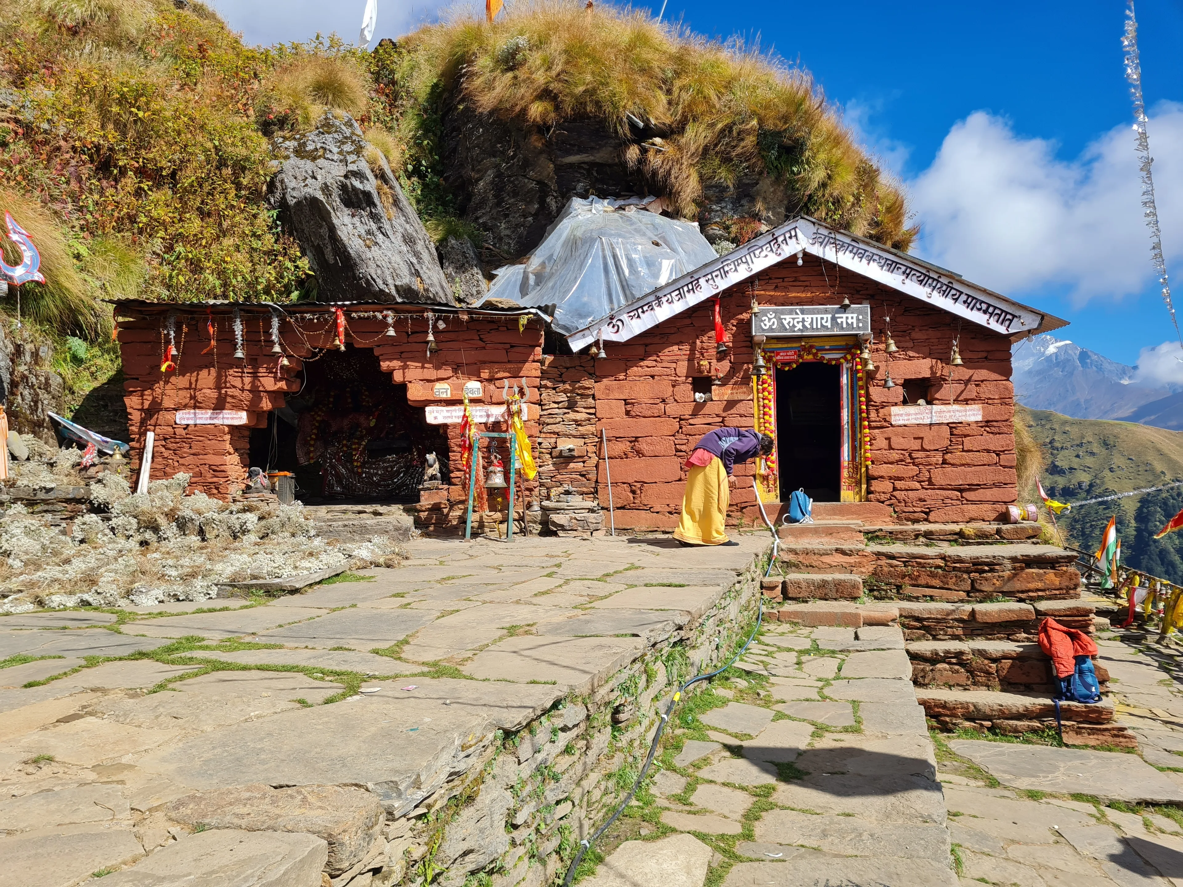
Deep in the Chamoli District of Uttarakhand, past rolling alpine meadows and dense rhododendron forests, stands one of Hinduism's most quietly powerful pilgrimage sites. The Rudranath Trek leads to the Rudranath Temple, the most remote of the five Panch Kedar shrines, sitting at approximately 3,600 metres (11,800 ft) above sea level in the Garhwal Himalaya. The one-way trail from Sagar village stretches roughly 24 km, demanding two to three days of walking through some of the most spectacular and least commercialised terrain in Uttarakhand.
Unlike Kedarnath, which sees hundreds of thousands of visitors each season, Rudranath remains blessedly uncrowded. There are no helicopter pads, no pony queues, no chai stalls every 200 metres. What you get instead is solitude, sweeping panoramas of Nanda Devi and Trishul, and a living pilgrimage tradition that feels unchanged by tourism. For trekkers seeking both spiritual depth and genuine wilderness, the Rudranath Trek in the 2026 season deserves a top place on the list.
In a state famous for high-altitude treks, Rudranath stands apart for several reasons.
Isolation and authenticity — The trail carries a fraction of the footfall of Kedarnath or Tungnath. You are far more likely to share the bugyals with grazing sheep and migratory birds than with selfie sticks.
The bugyals — Lyuti Bugyal, Panar Bugyal, and the meadows near Pana village are among the finest high-altitude grasslands in the Garhwal Himalaya. In May and June, rhododendrons explode in red and pink along the lower trail; by September the meadows turn gold under clear post-monsoon skies.
Himalayan panoramas — On clear days from the ridges above Panar and from Pitradhar, the horizon fills with giants: Nanda Devi (7,816 m), Trishul (7,120 m), and the Kedarnath massif. Few treks in Uttarakhand offer this quality of view without requiring technical climbing.
Spiritual significance — Rudranath is one of the five Panch Kedar shrines and the site where the face (mukh) of Lord Shiva is worshipped. The divine atmosphere of the stone temple, set against a bowl of cliffs and fed by the sacred Vaitarni Kund nearby, is genuinely moving even for non-religious visitors.
Low commercial footprint — Unlike the Char Dham circuit, Rudranath has no motorable road to the shrine, no ropeway, and minimal infrastructure on the upper trail. This is a trek you earn on foot.
Rudranath in the Panch Kedar Circuit
The Panch Kedar are five Shiva temples in Garhwal, each believed to enshrine a different body part of the deity: Kedarnath (hump/back), Tungnath (arms), Rudranath (face/mukh), Madhyamaheshwar (navel), and Kalpeshwar (hair/jata). Together they form one of the most demanding pilgrimage circuits in India. See our Panch Kedar Trek Guide for the full circuit overview.
Rudranath is typically listed as the third or fourth shrine depending on the route order a pilgrim or trekker follows — there is no single canonical sequence. What is universally agreed is that it is the hardest to reach. The face of Shiva worshipped here is carved into a natural rock formation inside the temple, and the site is managed by the Badrinath-Kedarnath Temple Committee (BKTC), which announces opening and closing dates annually.
At a glance
Ask TrekSage about Rudranath Trek
Get instant answers grounded in verified trek data — beginner-friendliness, best months, permits, packing, and more.
The route at a glance
The primary and most popular route begins at Sagar village (approximately 1,650 m), located about 10 km from Gopeshwar on the Chamoli–Gopeshwar road. From Sagar the trail climbs northeast through forest and open meadow in a series of clear stages, reaching Rudranath Temple at around 3,600 m after approximately 24 km.
Key waypoints:
- Sagar Village → Lyuti Bugyal → Panar → Pana Village → Pitradhar → Rudranath Temple
An alternate route starts from Mandal village, near the Ansuya Devi Temple trailhead. This route is longer and less frequently used; it is best suited to trekkers completing the Anusuya Devi temple circuit or approaching from the Ukhimath side. For most trekkers in 2026, the Sagar route is the recommended starting point.
The total round-trip distance is approximately 48 km, with a net elevation gain of around 1,950 m from trailhead to temple.
Rudranath Trek Distance and Altitude Profile
| Waypoint | Approx. Altitude | Distance from Previous Point |
|---|---|---|
| Sagar Village (trailhead) | ~1,650 m | — |
| Lyuti Bugyal | ~2,600 m | ~8 km |
| Panar Bugyal | ~3,012 m | ~6 km |
| Pana Village | ~3,200 m | ~2 km |
| Pitradhar | ~3,400 m | ~2 km |
| Rudranath Temple | ~3,600 m | ~6 km |
One-way total: approximately 24 km | Round-trip: approximately 48 km
Note: Stage distances and altitudes are approximate field estimates. Verify with a local guide or updated topographic source before departure.
What each day actually looks like
This 6-day itinerary balances acclimatisation, comfortable daily distances, and time for darshan at the temple. Fit trekkers with prior high-altitude experience can compress this to 5 days by combining Panar and Rudranath on a single long day — but this is not recommended for most trekkers.
Day 1: Drive to Sagar Village from Rishikesh or Gopeshwar
Rishikesh to Sagar is approximately 220 km by road (roughly 8–10 hours depending on stops and road conditions). The route passes through Devprayag, Rudraprayag, and Gopeshwar before the final 10 km to Sagar. See our Rishikesh to Gopeshwar travel guide for transport options.
If you are already in Gopeshwar, Sagar is just ~10 km away (30–45 minutes). Overnight in Sagar guesthouses or tents. Spending the night in Sagar at ~1,650 m is a useful first acclimatisation step. Collect your forest permit here or at the Gopeshwar Forest Office before the drive.
Night halt: Sagar village (~1,650 m) | Accommodation: Guesthouses or tents
Day 2: Sagar to Lyuti Bugyal
Distance: ~8 km | Duration: 5–6 hours | Ascent: ~950 m
The trail climbs steadily through dense oak and rhododendron forest, with sections of steep stone steps in the lower reaches. This is one of the more demanding days in terms of sustained gradient. In May and June, rhododendron blooms colour the forest red and pink. By late morning you emerge at Lyuti Bugyal, where the first open meadow views appear and the sense of space opens dramatically.
Camp at Lyuti Bugyal. Water is available from nearby streams — always treat or filter before drinking.
Night halt: Lyuti Bugyal (~2,600 m) | Accommodation: Tents
Day 3: Lyuti Bugyal to Panar
Distance: ~6 km | Duration: 4–5 hours | Ascent: ~412 m
A gentler day across open bugyals. The trail crosses rolling grassland with increasingly dramatic Himalayan views. On clear mornings, the Nanda Devi massif and Trishul become visible for the first time. Panar Bugyal is a classic campsite — flat, well-watered, and surrounded by scenery that makes even seasoned trekkers pause.
Use this shorter day to rest, hydrate, and prepare for the long push to Rudranath the following morning.
Night halt: Panar Bugyal (~3,012 m) | Accommodation: Tents
Day 4: Panar to Rudranath Temple
Distance: ~10 km | Duration: 6–7 hours | Ascent: ~588 m
The longest and most atmospheric day on the trek. The trail passes through Pana village (~3,200 m), one of the highest permanently inhabited settlements in this region, where local families run basic tea stalls during the trekking season. Beyond Pana, the trail climbs to Pitradhar (~3,400 m), a ridge with extraordinary 360-degree views, before the final descent and re-ascent to Rudranath.
The temple sits in a natural amphitheatre of cliffs, serene and dramatically positioned. Attend evening aarti if you arrive in time. The Vaitarni Kund, a small sacred pond near the temple, is believed to hold immense religious significance — pilgrims take ritual dips here.
Camp near the temple. Facilities are extremely basic; carry all food and fuel.
Night halt: Rudranath Temple area (~3,600 m) | Accommodation: Tents
Day 5: Rudranath to Panar (Return)
Distance: ~10 km | Duration: 5–6 hours
Retrace the route to Panar. Before leaving, allow time for a morning visit to Vaitarni Kund and a final darshan at the temple. The descent via Pitradhar and Pana is easier on the lungs but demands care on loose sections. Return to Panar for the night.
Night halt: Panar Bugyal (~3,012 m) | Accommodation: Tents
Day 6: Panar to Sagar and Drive Back
Distance: ~14 km descent | Duration: 6–7 hours walking, then drive
A full descending day from Panar through Lyuti Bugyal back to Sagar. The lower forest sections can feel long on tired legs. Arrive at Sagar by mid-afternoon, giving time to drive to Gopeshwar or, if you have transport arranged, push on to Rishikesh overnight.
Night halt: Gopeshwar or Rishikesh (or en route)
When to go
May–June (Pre-Monsoon) ★★★★☆
The temple opens annually around Akshaya Tritiya (which falls in April or May — exact 2026 date to be confirmed by the Badrinath-Kedarnath Temple Committee). Trails are clear of snow by mid-May on most sections. Rhododendrons are in full bloom in the forest zone. Days are long and weather is generally stable, though afternoon clouds can build quickly.
July–August (Monsoon) — Not Recommended
Heavy monsoon rainfall makes the trails genuinely hazardous. The rock and clay sections become dangerously slippery, leeches are present in the forest zone, and the risk of landslides on approach roads is high. Unless you have prior monsoon trekking experience and local guidance, avoid this window.
September–October (Post-Monsoon) ★★★★★
This is the best time for the Rudranath Trek. Monsoon rains wash the skies clean and the Himalayan views in September and October are among the best of the year. The bugyals are still green in September, turning golden and bronze by October. Temperatures are comfortable and trails are dry. This is also the busiest window, though "busy" at Rudranath still means quiet by any mainstream trekking standard.
November — Avoid
The temple closes after Diwali (exact 2026 date to be confirmed by BKTC). Temperatures drop sharply and snow becomes possible above 2,500 m. Do not plan a Rudranath Trek after the official temple closing.
Is this trek right for you?
Difficulty rating: Moderate–Difficult
Rudranath is not technically demanding — there is no rock climbing, fixed ropes, or glacier crossing. What makes it challenging is the combination of long daily distances, sustained altitude, and minimal trail infrastructure. Day 4 (Panar to Rudranath, ~10 km with significant ascent) is the crux for most trekkers.
Recommended prior experience: At least one multi-day trek above 3,000 m — such as Kedarkantha, Deoriatal–Chandrashila, or Valley of Flowers — is strongly advisable.
Fitness preparation (start 6–8 weeks before departure):
- Cardio base: running, cycling, or swimming 4–5 days per week
- Weighted hikes: practice 10–15 km hikes with a 10–12 kg pack on hilly terrain
- Stair climbing: an underrated and highly effective preparation tool
Not suitable for: First-time trekkers, those with a history of cardiac or respiratory conditions, or anyone who has not been above 2,500 m before. Consult a physician if you have any doubts.
What permits you need
A Forest Department entry permit is required for the Rudranath Trek. This is a standard requirement across protected forest areas in Uttarakhand and must not be overlooked.
- Where to obtain: Uttarakhand Forest Department office in Gopeshwar, or at the check post at the Sagar trailhead
- Cost: Approximately ₹150–200 per person per day
- Documents required: Government-issued photo ID (Aadhaar, passport, or voter card)
- Group permits: Available for organised groups
- Online booking: No online permit system is typically in place for this route; obtain in person
- Inner Line Permit: NOT required for Indian nationals on the Rudranath route
- Foreign nationals: Should contact the Chamoli District Forest Office or check current regulations with the Uttarakhand Forest Department before travel, as rules may differ
Always confirm current permit requirements with the Gopeshwar Forest Office or a registered local operator before your departure date, as regulations can change between seasons.
What this trek will cost you
DIY Trek: ₹5,000–8,000 per person
| Expense | Estimated Cost |
|---|---|
| Transport: Rishikesh ↔ Sagar (shared vehicle) | ₹1,500–2,500 |
| Forest permit | ~₹200 |
| Meals on trail (5 days, ₹300–500/day) | ₹1,500–2,500 |
| Guesthouse in Sagar (1–2 nights) | ₹500–800/night |
| Porter (if hired): ₹800–1,000/day | ₹4,000–5,000 for 5 days |
| Camping gear rental (Rishikesh) | ₹500–1,500 |
See our gear rental guide for Rishikesh for kit hire options.
Guided Package: ₹12,000–18,000 per person (6 days)
A guided package from a registered Uttarakhand operator typically includes: guide fees, porters, all meals on trail, tents and sleeping equipment, permits, and ground transport from Rishikesh or Haridwar. Quality and inclusions vary — always confirm what is and is not included in writing.
What to pack
Clothing (Layering System)
- Base layer: moisture-wicking thermal top and bottom
- Mid layer: fleece jacket or down gilet
- Outer layer: waterproof and windproof jacket
- Trekking pants (convertible recommended)
- Rain poncho (essential, especially May–June and September)
- Woollen hat and sun hat
- Gloves (lightweight liner + warm outer for higher camps)
- 3–4 pairs merino wool or synthetic trekking socks
Footwear
- Ankle-support waterproof trekking boots (broken in before the trek)
- Camp sandals or lightweight shoes
- Gaiters (useful in wet season or early snow)
Gear
- Trekking poles (strongly recommended for descent)
- Headlamp with spare batteries
- Sleeping bag rated to -5°C minimum
- Backpack 50–60L with rain cover
- Water bottles or hydration bladder (minimum 2 litres capacity)
- Water purification tablets or filter
- Trekking map or offline GPS app (Maps.me or similar — download before departure)
Nutrition
- High-energy snacks: nuts, dry fruits, energy bars, dark chocolate
- ORS (Oral Rehydration Salts) sachets — hydration is critical at altitude
- Instant noodles or oats for emergency meals
Documents
- Original government-issued photo ID
- Copy of Forest Department permit
- Travel insurance document with emergency contact number
- Emergency contact list (laminated)
Medication
- Basic first aid kit: bandages, antiseptic, blister plasters, pain relief
- Altitude sickness medication (Diamox/Acetazolamide): carry only if prescribed by your physician
- Personal prescription medications
- Antihistamine and anti-diarrhoeal tablets
Staying safe on the mountain
Altitude sickness — Rudranath at 3,600 m is within the range where Acute Mountain Sickness (AMS) can occur, especially if ascent is rushed. Follow the golden rule: ascend slowly, sleep low. If any member of your group shows symptoms (severe headache, nausea, confusion, loss of coordination), halt and descend immediately. Do not wait until morning. Read our full altitude sickness prevention guide.
Weather — Storms can develop rapidly in the afternoon even during the best seasons. Aim to reach your campsite before noon or early afternoon each day. If thunder begins while you are on an exposed ridge, move to lower ground and away from lone trees.
Trail navigation — Signage on the Rudranath trail is inconsistent. Carry a downloaded offline map and strongly consider hiring a local guide from Sagar or Gopeshwar. A local guide also provides safety backup and cultural insight worth far more than the daily fee.
Emergency contacts:
- SDRF Rescue Unit, Gopeshwar: Contact the Chamoli District administration for the current SDRF helpline
- Gopeshwar District Hospital: approximately 30 km from Sagar — nearest medical facility with emergency capacity
- Uttarakhand Emergency/Disaster helpline: 1070
Mobile connectivity — BSNL has patchy signal in Sagar and the lower trail sections. Expect no reliable connectivity beyond Panar. Inform a responsible contact of your itinerary and expected return date before you begin.
Group safety — Never trek alone on this route. A minimum group of two people is recommended; three or more is better. In the event of injury, one person can stay with the casualty while another goes for help.
Similar treks to explore
Rumtse to Tso Moriri Trek: Complete Ladakh Trail Guide
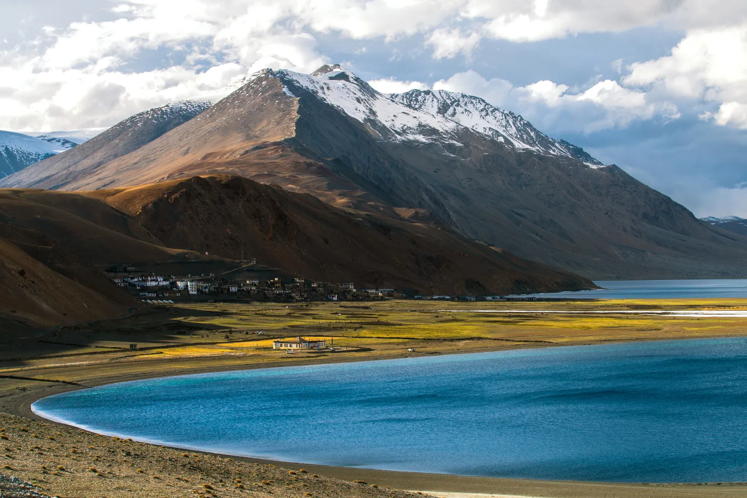
The Rumtse to Tso Moriri trek is an ~80 km, 7–8 day strenuous Ladakh trail crossing Kyamar La (~5,460 m) and Polokongka La (~5,190 m), ending at Tso Moriri Lake
Naranag Gangabal Trek: Complete Guide (2026)
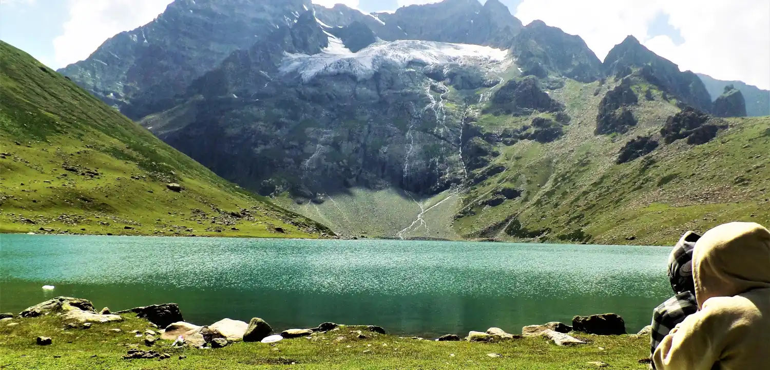
The Naranag Gangabal Trek is a 4–5 day moderate-difficult alpine trek in Kashmir, covering ~26–30 km from Naranag (2,150 m) to Gangabal Lake (3,570 m).
Kolahoi Glacier Trek: Complete Kashmir Guide 2026
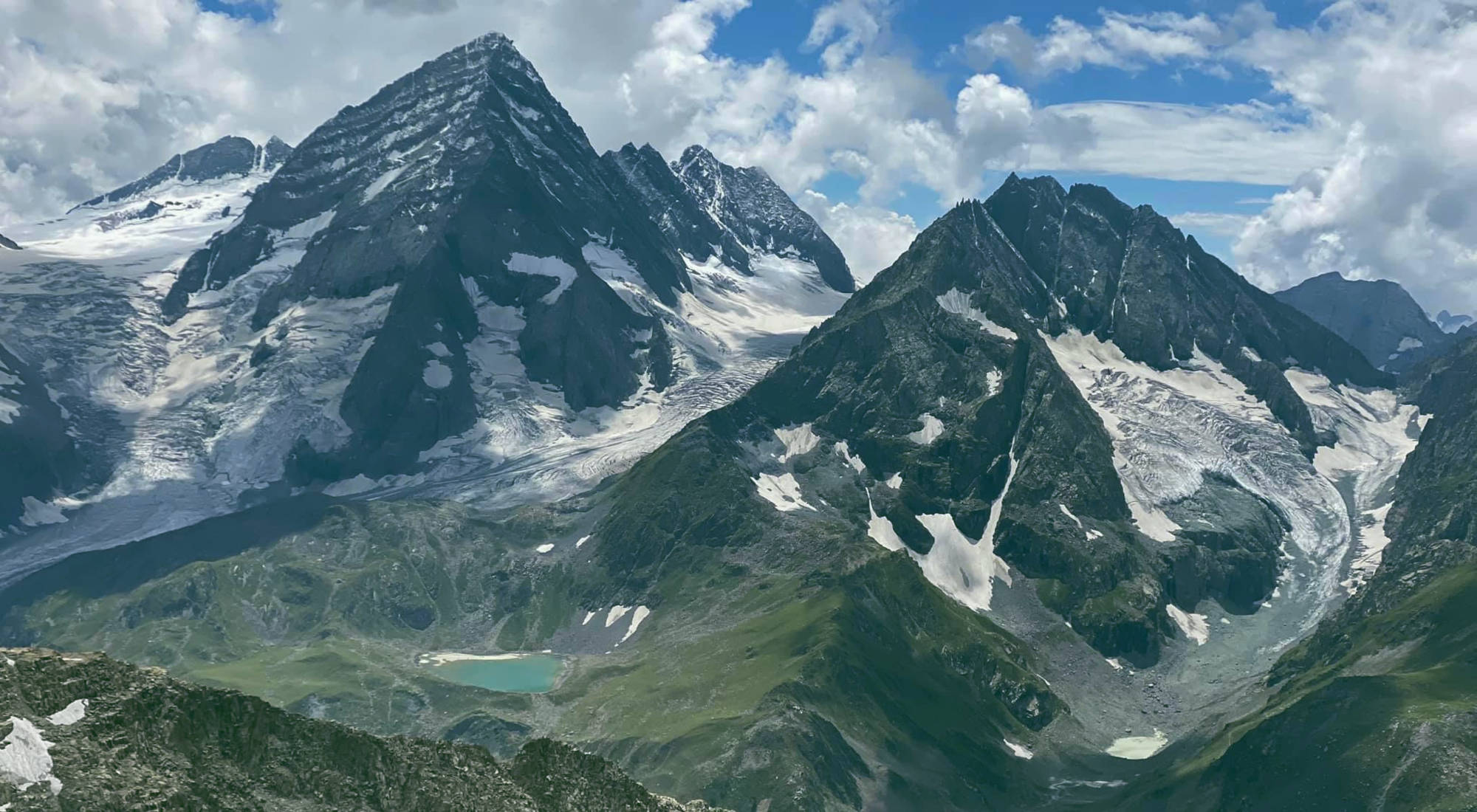
The Kolahoi Glacier Trek is a moderate-to-challenging 6-day route from Aru Valley near Pahalgam to Kashmir's largest glacier at 4,100 m.
Common questions answered
The one-way distance from Sagar village to Rudranath Temple is approximately 24 km. The round-trip total is approximately 48 km, typically completed over 5–6 days. Daily distances range from 6 km to 10 km depending on the stage.
Live Conditions
Real-time weather & trail status
Trail Conditions
Crowdsourced reports from trekkers who've done this route
Sign in to add a trip report
Find a Trek Buddy
Connect with trekkers planning the same route
No buddies yet for this trek
Sign in and be the first to post a planning signal.