
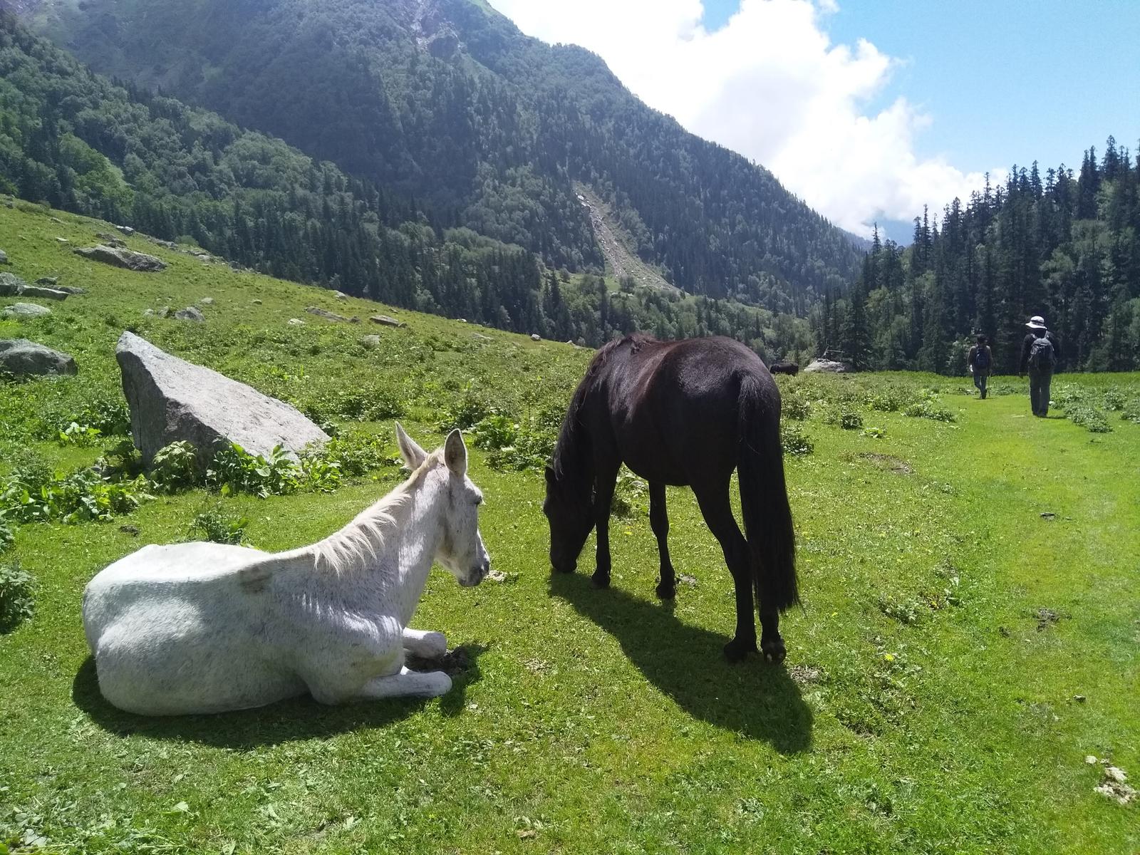
Why Doodhpathri Trek is on every trekker's list
Imagine a meadow so lush and milk-white streams so luminous that locals named it Doodhpathri — literally, the 'Valley of Milk'. Tucked into the Budgam district of Kashmir, roughly 42 km southwest of Srinagar, this alpine meadow sits at around 2,730–3,100 m above sea level and remains one of the Himalayan foothills' best-kept secrets. While Gulmarg and Pahalgam draw the bulk of Kashmir's trekking traffic, Doodhpathri rewards those willing to go a little further off the beaten path with unblemished meadows, wildflower carpets, crystalline streams, and genuine encounters with Gujjar shepherd culture.
This guide covers everything you need to plan your 2026 Doodhpathri trek: the full route, a day-wise itinerary, best time to visit, permit requirements, honest cost breakdowns, packing lists, and safety advice.
Doodhpathri checks a rare set of boxes that few Kashmir destinations manage simultaneously.
Fewer crowds. Even during peak summer, Doodhpathri sees a fraction of the footfall that Gulmarg or Pahalgam attract. You can sit beside a stream in near-silence — a genuine luxury in the 2026 trekking season.
Milk-white streams. The Doodhganga River and its tributaries carry glacial meltwater that appears almost milky in certain light conditions — the source of the valley's poetic name.
Wildflower spectacle. May and June transform the meadows into a riot of buttercups, irises, and Himalayan wildflowers. Even by July the green is arrestingly vivid.
Proximity to Srinagar. At roughly 42 km and a 1.5–2 hour drive, Doodhpathri is doable as a long day trip, though an overnight stay is strongly recommended for the full experience.
Gujjar culture. The pastoral Gujjar community summers their livestock on these meadows. Interactions with herders and visits to traditional wooden huts add authentic cultural texture to the trek.
Beginner-friendly terrain. With no technical sections and a modest elevation gain, this is an ideal introductory Kashmir trek — see our best treks in India for beginners for context.
At a glance
Ask TrekSage about Doodhpathri Trek
Get instant answers grounded in verified trek data — beginner-friendliness, best months, permits, packing, and more.
The route at a glance
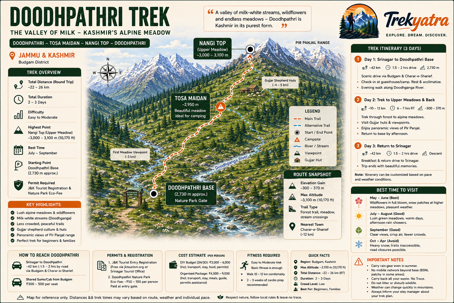
The Doodhpathri trek is not a single fixed trail but a cluster of walking routes radiating from the Doodhpathri base area (also called Doodhpathri Nature Park). The most popular variant covers approximately 8–12 km return, depending on how far into the upper meadows you venture.
Start elevation: ~2,730 m (Doodhpathri base / Nature Park entrance)
Upper meadow elevation: ~3,000–3,100 m
Total elevation gain: ~300–370 m
Terrain: Pine and fir forest in lower sections, giving way to open alpine meadow, gentle ridgelines, and stream crossings on stepping stones or seasonal bridges.
The elevation profile is gentle by Himalayan standards — a gradual ascent through forest for the first 2–3 km, then a broad, open plateau-like meadow that stretches toward the Pir Panjal range. There are no sharp switchbacks or exposed ridges. Stream crossings are the main technical challenge, and these are manageable in dry conditions.
[For comparison with other Kashmir treks, see our Kashmir trekking guide.]
How to Reach Doodhpathri Trailhead from Srinagar
Doodhpathri is accessible via the Srinagar–Charar-e-Sharief road through Budgam district. From Srinagar, the drive is approximately 42 km and takes 1.5–2 hours depending on traffic and road conditions.
- Route: Srinagar → Budgam town → Charar-e-Sharief → Doodhpathri base
- Nearest town: Charar-e-Sharief (famous for the Charar-e-Sharief shrine), about 10–12 km before the meadow
- Road condition: Mostly paved; the final few kilometres to the Nature Park can be uneven — a high-clearance vehicle is preferable
- Transport options: Shared sumo/cab from Budgam (INR 300–500 per seat), private taxi from Srinagar (INR 1,500–2,500)
Key Landmarks on the Doodhpathri Trail
- Doodhganga River: The main watercourse running through the valley; follow its banks for the most scenic sections of the trail.
- Doodhpathri Nature Park Gate: The formal entry point where eco-fees are collected.
- Upper Alpine Meadows: The broad open grasslands above the treeline — the photographic highlight of the trek.
- Gujjar Shepherd Huts (Dhanis): Seasonal wooden shelters dotted across the meadow; herders are generally welcoming of respectful visitors.
- Pir Panjal Viewpoints: On clear days, the upper meadow sections offer panoramic views of the snow-capped Pir Panjal range to the south.
What each day actually looks like
The following 3-day itinerary is the recommended format for a comfortable Doodhpathri experience. A 2-day version (skipping Day 3 extension) is also viable.
Day 1 – Srinagar to Doodhpathri Base
Drive: Depart Srinagar by 8:00–9:00 AM. The drive via Budgam and Charar-e-Sharief takes approximately 1.5–2 hours (42 km). Road conditions are generally good but traffic around Budgam town can add time.
Arrival: Check into your guesthouse or tented camp at the Doodhpathri base by 10:30–11:30 AM. Basic guesthouses and seasonal campsites operate here; facilities are simple but adequate.
Afternoon: Rest, acclimatize, and take a gentle 1–2 km orientation walk along the Doodhganga River bank. This is not a strenuous walk — it is an opportunity to let your body adjust to the altitude (~2,730 m) and take in the immediate surroundings.
Evening: Sunset over the meadow is spectacular. Have dinner at your guesthouse (limited local dhabas available) and retire early.
Distance covered: Nil trekking (drive day)
Stay: Guesthouse or camp at Doodhpathri base
Day 2 – Trek to Upper Meadows (Core Doodhpathri Trek Day)
Start time: 7:00–7:30 AM (early start avoids afternoon showers, common June–August)
Trail description: From the base camp, the trail enters pine and fir forest almost immediately. The first 2–3 km are a gentle, well-worn path through canopy shade. At around the 3 km mark, the treeline opens into the first broad meadow — a genuinely memorable moment.
Continue northeast along the Doodhganga's upper tributary to reach the higher meadow sections at approximately 3,000–3,100 m. This is the turn-around point for most day trekkers.
Key stops:
- Stream crossing at approximately 2.5 km (stepping stones; use poles for balance)
- First meadow viewpoint (~3 km) — good spot for wildflower photography
- Gujjar hut cluster (~4–5 km) — cultural photo opportunity
- Upper Pir Panjal viewpoint (~5–6 km) — clearest views on the route
Lunch: Packed lunch from your guesthouse (arrange the evening before) or at a seasonal tea stall near the Gujjar hut area (availability not guaranteed — carry food).
Return: Begin descent by 1:30–2:00 PM. Allow 2–2.5 hours back to base. Afternoon showers are possible from June to August — carry a waterproof layer.
Total trekking distance: ~10–12 km return
Elevation gain: ~300–370 m
Stay: Same guesthouse/camp at base
Day 3 – Optional Extension or Return to Srinagar
Option A – Return to Srinagar: Depart base by 9:00–10:00 AM, arrive Srinagar by noon. This leaves the afternoon free to explore Srinagar's Dal Lake or markets.
Option B – Extension to nearby viewpoints: Motivated trekkers can spend the morning exploring lateral trails toward higher ridgelines above the main meadow. Return to Srinagar post-lunch.
Note: The itinerary is intentionally flexible. Doodhpathri suits unhurried exploration. If weather is poor on Day 2, swap days.
When to go
| Season | Months | Conditions |
|---|---|---|
| Spring / Wildflower Peak | May–June | Snow patches at upper elevations, explosive wildflower bloom, cool temperatures (5–18°C) |
| Summer Peak | July–August | Lush green meadows, warmest temperatures (10–22°C), afternoon showers common, busiest period |
| Autumn | September–October | Golden and amber hues, crisp air, far fewer crowds, excellent visibility |
| Winter | November–April | Heavy snowfall renders upper meadows inaccessible; road closures possible |
Recommended window for 2026: May to September. May–June offers the most dramatic landscape; September is ideal for solitude-seekers. Avoid visiting without checking road status after any heavy snowfall in May or October.
Is this trek right for you?
Overall rating: Easy to Moderate
Doodhpathri is one of the most accessible alpine treks in Kashmir. The maximum elevation (~3,100 m) is well below the threshold where acute mountain sickness (AMS) becomes a serious concern for most healthy adults, though mild symptoms are possible in individuals who ascend quickly.
Fitness prep: 2–3 weeks of regular cardio (brisk walking 5–7 km/day, light jogging, or cycling) is sufficient preparation.
Suitability:
- ✅ First-time trekkers
- ✅ Children (lower meadow sections; upper sections for fit older children)
- ✅ Seniors with reasonable mobility
- ❌ Not recommended for those with severe cardiac or respiratory conditions without medical clearance
No technical gear (crampons, ropes) is required. Trekking poles are helpful on stream crossings and descents but are optional.
For broader context on beginner trekking in India, see our best treks in India for beginners.
What permits you need
Doodhpathri's permit situation is relatively straightforward compared to many Himalayan treks.
1. J&K Tourist Entry Registration
All visitors to Jammu & Kashmir are required to register via the JKTDC (Jammu & Kashmir Tourism Development Corporation) online portal or at the Srinagar tourist office. This is a formality rather than a strict gatekeeping measure but is legally required. Carry a printout or digital copy.
- Where to register: jktourism.org or Srinagar Tourist Reception Centre
- Cost: Free of charge
2. Doodhpathri Nature Park Eco-Fee
An entry/eco-fee is collected at the Nature Park gate.
- Estimated fee: INR 50–100 per person
- Where paid: Entry gate at Doodhpathri base
3. Inner Line Permit (ILP)
As of the 2026 trekking season, an Inner Line Permit is NOT required for Doodhpathri. The area is open to all Indian and foreign nationals with standard identity documentation.
Required documents to carry:
- Government-issued photo ID (Aadhaar, passport, or driving licence)
- JKTDC registration confirmation
- Eco-fee receipt
For a broader overview of Indian trekking permits, see our India trekking permits guide.
What this trek will cost you
DIY (Do-It-Yourself) Breakdown
| Item | Cost (INR, 2026 estimate) |
|---|---|
| Shared cab/sumo Srinagar–Doodhpathri | 300–500 per seat |
| Private taxi (round trip) | 1,500–2,500 |
| Nature Park eco-fee | 50–100 |
| Guesthouse (per night) | 500–1,200 |
| Camping (per night) | 300–800 |
| Meals (per day) | 200–400 |
Total DIY estimate for a 2-night/3-day trip: ~INR 3,000–6,000 per person
Note: ATMs are limited in the Doodhpathri area. Carry sufficient cash from Srinagar.
Organised Package (from Srinagar operators)
Typical 2N3D package cost: INR 4,500–9,000 per person
What packages typically include:
- Return transport from Srinagar
- Accommodation (guesthouse or camp)
- All meals
- Local guide
- Eco-fee and permits assistance
- Basic first aid kit
What packages typically exclude:
- Personal travel insurance
- Alcoholic beverages
- Tips for guides/porters
- Any personal expenses
For solo travellers or small groups, the DIY route is very manageable. Packages add value primarily through logistics handling and guided interpretation of the landscape and Gujjar culture.
What to pack
Clothing
- Moisture-wicking base layer (top and bottom)
- Insulating mid-layer (fleece or light down jacket)
- Waterproof and windproof outer jacket
- Trekking pants (quick-dry)
- Warm hat/beanie and lightweight gloves
- Sun hat or cap
- 2–3 pairs of moisture-wicking socks
Footwear
- Ankle-support trekking shoes (waterproof preferred)
- Camp sandals or flip-flops
Gear
- Daypack (20–30 litre)
- Trekking poles (optional but useful)
- Headlamp with spare batteries
- Reusable water bottle (1–2 litres)
- Rain cover for pack
Health & Hygiene
- Sunscreen SPF 50+
- UV-protective sunglasses
- Lip balm with SPF
- Basic first aid kit (plasters, antiseptic, bandage, pain relief)
- ORS sachets
- Personal medications
- Hand sanitiser
Documents
- Government-issued photo ID
- JKTDC registration printout
- Eco-fee receipt
- Emergency contacts (written, not just phone)
- Travel insurance details
Extras
- Packed snacks (trail mix, energy bars, dry fruits)
- Sufficient cash (no reliable ATMs at Doodhpathri)
- Camera or phone with fully charged power bank
- Biodegradable soap/shampoo (respect the ecosystem)
Staying safe on the mountain
Altitude & AMS
At a maximum of ~3,100 m, serious AMS is uncommon but possible, especially if you have driven directly from a low-altitude city and immediately ascended. Symptoms: headache, nausea, dizziness, fatigue. Action: descend immediately and rest. Do not ascend further if symptoms appear. Acclimatise on Day 1 with only gentle walking.
Weather
Afternoon thundershowers are common between June and August. Always begin your Day 2 trek by 7:00–7:30 AM and aim to be back at base before 2:00–3:00 PM. Carry a waterproof jacket regardless of morning conditions.
Stream Crossings
Stream crossings on stepping stones can be slippery, especially after rain or snowmelt. Use trekking poles for balance. Do not attempt crossings if water levels appear unusually high (possible after heavy overnight rain).
Trail Safety
- Stay on marked/well-worn trails; the upper meadow has few formal signs
- Inform your guesthouse or camp manager of your trekking plan each morning
- Do not trek in the upper sections alone — at minimum go in pairs, or hire a local guide
- Avoid trekking after 5:00 PM
Wildlife
Bear sightings, while rare, have been reported in forested sections. Make noise as you hike (talk, use a bell) to avoid surprising wildlife. Do not approach or feed any wild animals.
Emergency Contacts
- J&K Tourism helpline: 0194-2477658
- Nearest medical facility: Budgam District Hospital (~30 km) or Srinagar SMHS Hospital
- Local police (Charar-e-Sharief): enquire locally for current number
Always purchase travel insurance with medical evacuation cover before trekking in J&K.
Similar treks to explore
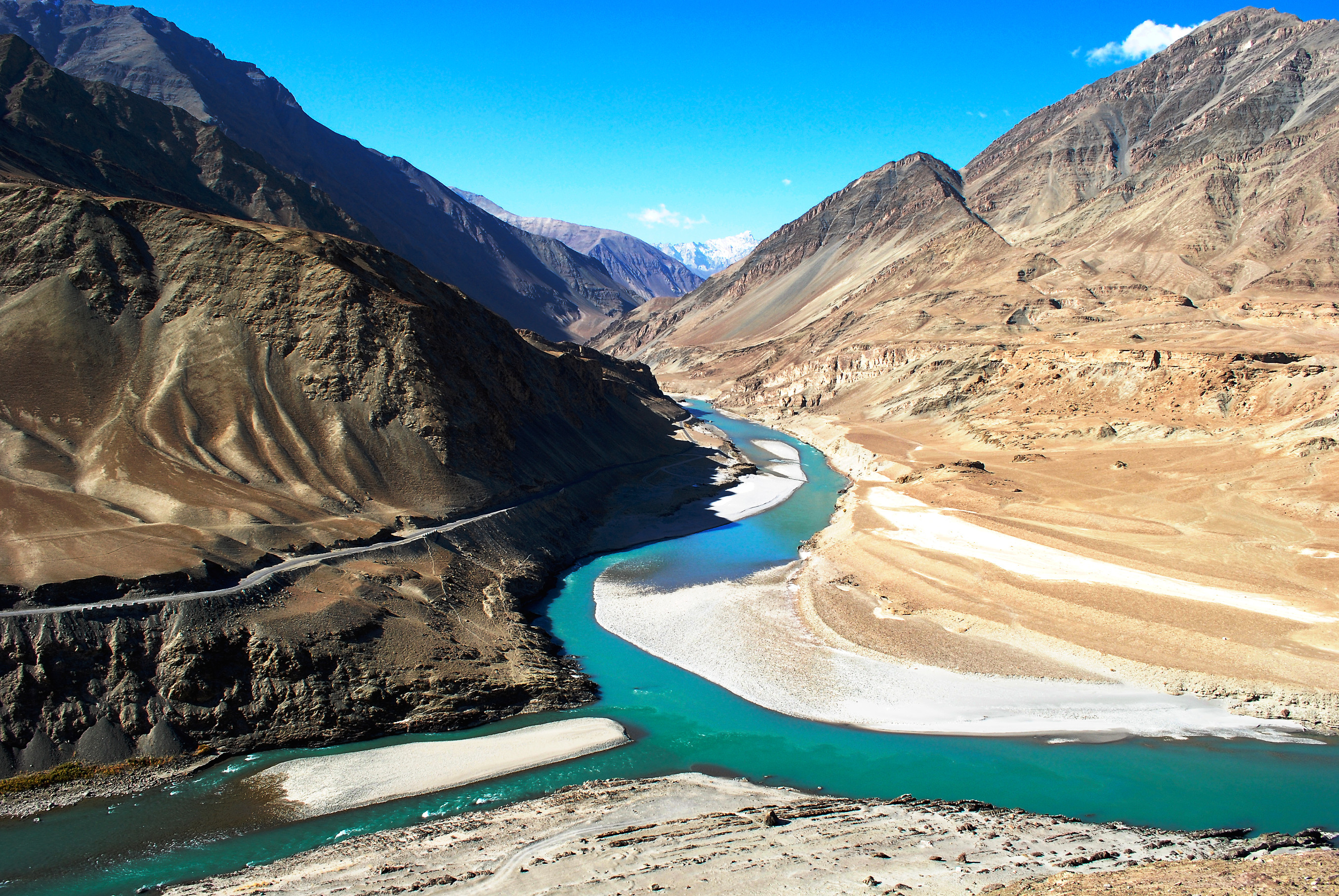
Snow Leopard Trek Hemis: The Ultimate 2026 Guide
The snow leopard trek in Hemis National Park, Ladakh, offers the world's best chance of spotting a wild snow leopard, with 70–80% guided sighting success rates
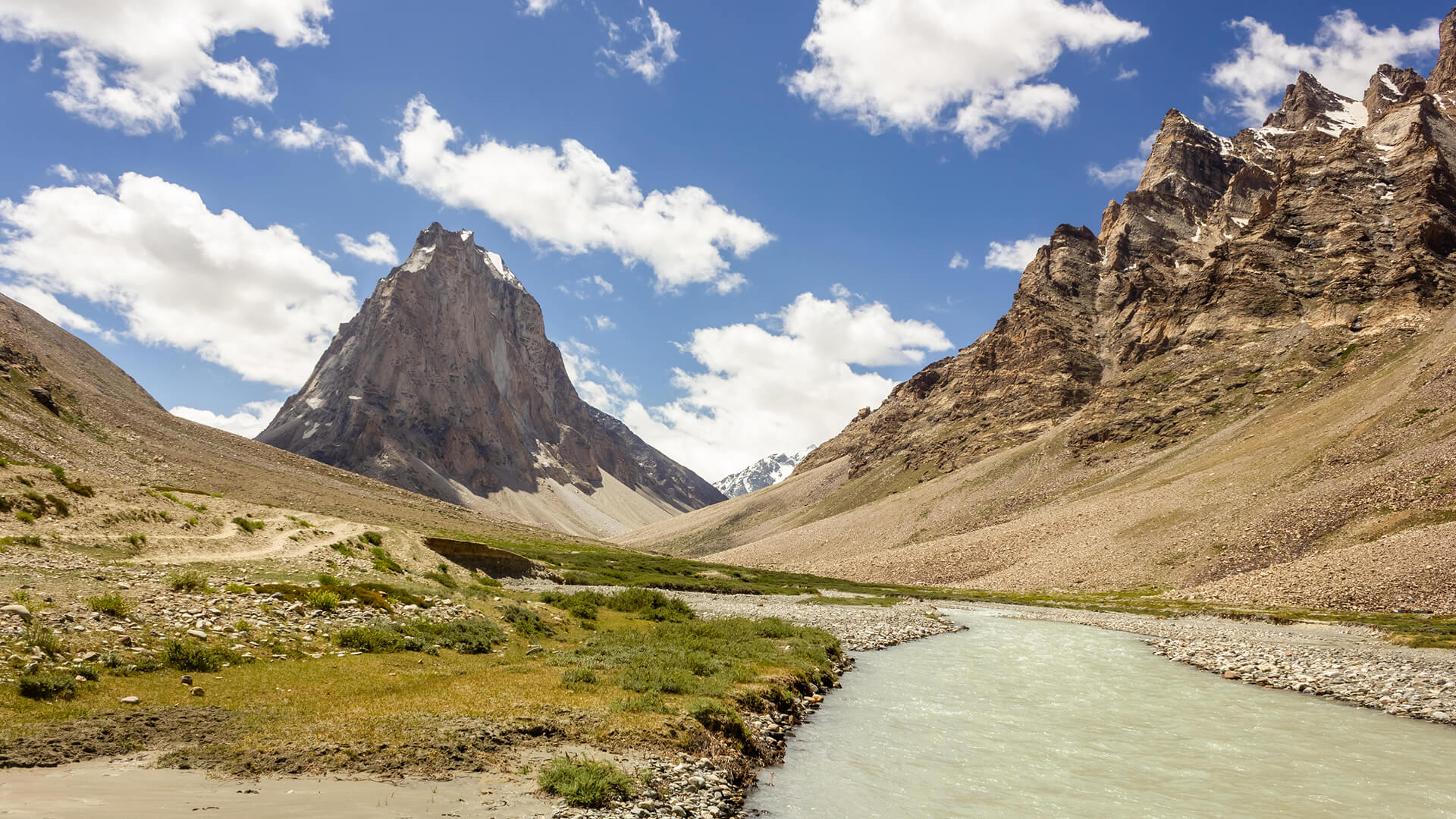
Padum to Darcha Trek: Complete High-Altitude Route Guide
The Padum to Darcha trek covers ~115–120 km in 8–9 days, crossing Shingo La (~5,060 m) between Zanskar and Lahaul.
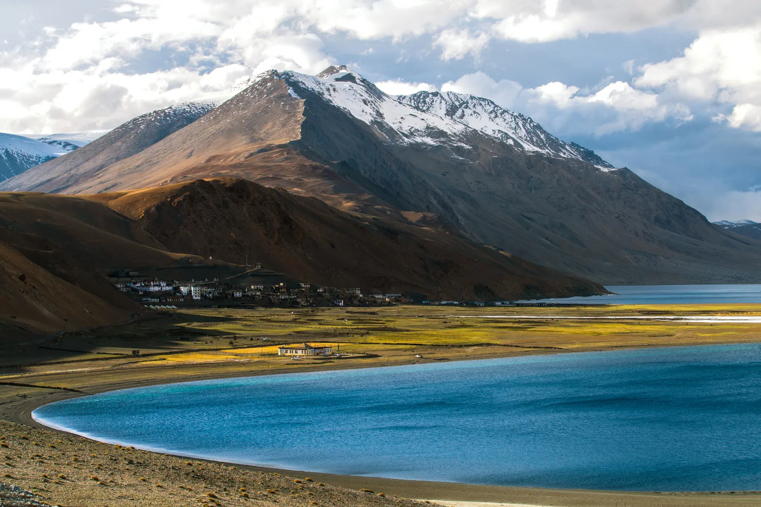
Rumtse to Tso Moriri Trek: Complete Ladakh Trail Guide
The Rumtse to Tso Moriri trek is an ~80 km, 7–8 day strenuous Ladakh trail crossing Kyamar La (~5,460 m) and Polokongka La (~5,190 m), ending at Tso Moriri Lake
Common questions answered
Yes — Doodhpathri is one of the most beginner-friendly treks in the Kashmir Valley. The trail has no technical sections, the elevation gain is modest (~300–370 m), and the maximum altitude (~3,100 m) poses a low AMS risk. Basic fitness — the ability to walk 10–12 km comfortably — is all that is required. A few weeks of regular brisk walking before the trip is ideal preparation.
Doodhpathri Trek — Latest News
Jammu & Kashmir: Army kills one terrorist in forest area of Budgam; hunt on for second
Army neutralises terrorist in Budgam forest; Doodhpathri Trek trekkers advised to check latest security advisories before planning expeditions to Kashmir's cent
J&K: Army kills one terrorist in forest area of Budgam
Army neutralises terrorist in Budgam forest near Doodhpathri Trek. Trekkers advised to check advisories and use registered operators for safe travel.
Doodhpathri Reopens to Tourists After Weather-Related Closure
Doodhpathri Trek in Kashmir reopens to trekkers after weather-related closure. Plan your alpine meadow trek with updated safety information and practical tips.
Live Conditions
Real-time weather & trail status
Trail Conditions
Crowdsourced reports from trekkers who've done this route
Sign in to add a trip report
Find a Trek Buddy
Connect with trekkers planning the same route
No buddies yet for this trek
Sign in and be the first to post a planning signal.