
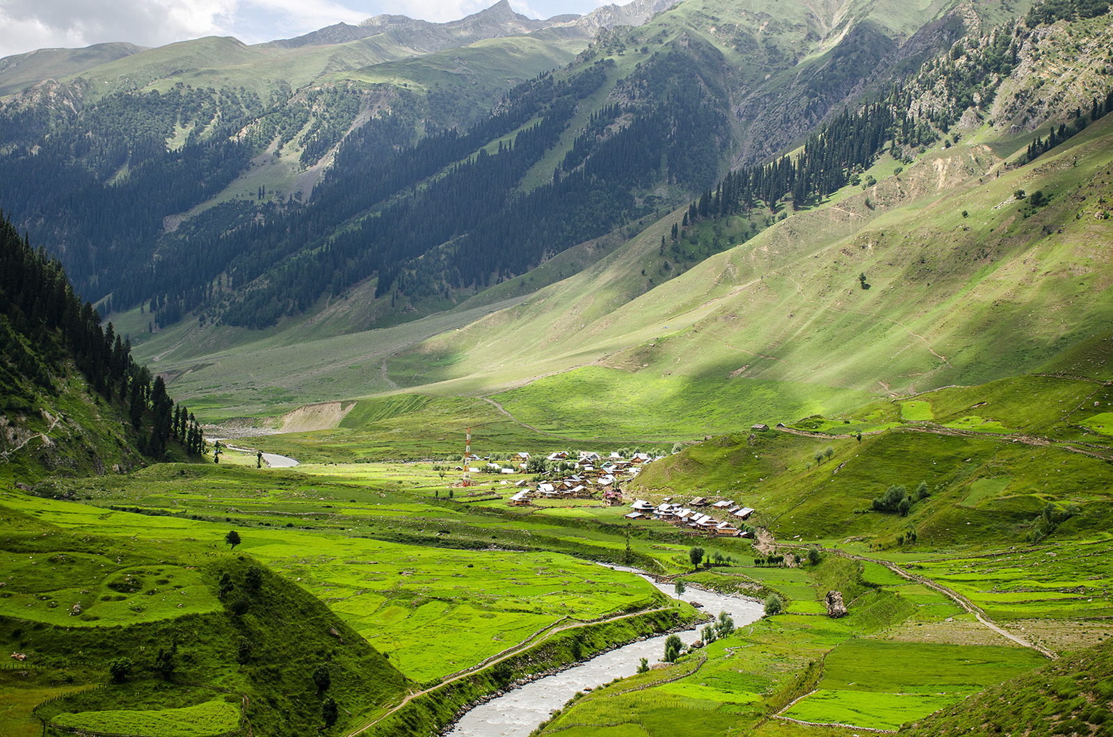
Why Warwan Valley Trek is on every trekker's list
The Warwan Valley trek is an 85–100 km, 8–10 day difficult trek through the Pir Panjal ranges of Jammu & Kashmir, reaching elevations of 2,900m to 4,800m — one of the most remote Himalayan routes in India.
Deep inside the Pir Panjal ranges of Jammu & Kashmir, the Warwan Valley trek leads you into one of the most isolated and breathtaking corridors in the entire Himalaya. This is not a trail you stumble upon — you choose it deliberately, knowing that what awaits is raw, unfiltered wilderness. With an elevation range of approximately 2,900m to 4,800m, a total distance of 85–100 km, and a recommended duration of 8–10 days, the Warwan Valley trek demands respect, preparation, and a genuine appetite for solitude. Unlike the increasingly crowded Kashmir Great Lakes or Tarsar Marsar routes, the Warwan Valley remains gloriously off the mainstream radar — a place where the only footprints you're likely to follow belong to Gujjar shepherds and their flocks.
Ask anyone who has completed the Warwan Valley trek and they'll struggle to reduce it to a single superlative. The experience is layered: one day you're wading knee-deep across a glacial tributary of the Warwan River, the next you're camped on a moraine with a 4,700m pass looming overhead. The day after that, you're sharing a fire with Bakarwal nomads who have migrated these routes for generations.
What sets this trek apart from popular Kashmir alternatives:
- Zero infrastructure on the trail. Unlike the Kashmir Great Lakes Trek, there are no tea stalls, no established camping vendors, and no rescue outposts mid-route.
- Genuine remoteness. Stretches of 2–3 days pass without encountering a motorable road or a permanent settlement.
- Glacial diversity. The route passes through active glacier zones, river valleys carved by centuries of ice movement, and flower-carpeted alpine meadows in the same week.
- Cultural depth. Encounters with Gujjar cattle herders and Bakarwal goat nomads are organic and frequent — these communities have used the valley as a seasonal migration corridor for centuries.
- Wildlife density. The valley sits in the buffer zone of Kishtwar High Altitude National Park, making sightings of Himalayan ibex, marmots, and golden eagles common. The territory is also home to the elusive snow leopard and Himalayan brown bear.
For context: on a peak August weekend, the Kashmir Great Lakes trail can see 200+ trekkers at Vishansar Lake. On the Warwan Valley route during the same period, you might go an entire day without seeing another trekking group.
Warwan Valley vs. Other Kashmir Treks
| Factor | Warwan Valley | Kashmir Great Lakes | Tarsar Marsar |
|---|---|---|---|
| Crowd Level | Very Low | High | Moderate |
| Infrastructure | None | Basic | Basic |
| Difficulty | Difficult | Moderate | Moderate |
| Duration | 8–10 days | 7–8 days | 6–7 days |
| Max Elevation | ~4,800m | ~4,100m | ~4,200m |
| Rescue Access | Minimal | Moderate | Moderate |
| Cultural Immersion | Very High | Low | Low |
The verdict is clear: if solitude, challenge, and authentic Himalayan wilderness are your priorities, the Warwan Valley is the superior choice. Explore more options on our best treks in Kashmir guide.
At a glance
Ask TrekSage about Warwan Valley Trek
Get instant answers grounded in verified trek data — beginner-friendliness, best months, permits, packing, and more.
The route at a glance
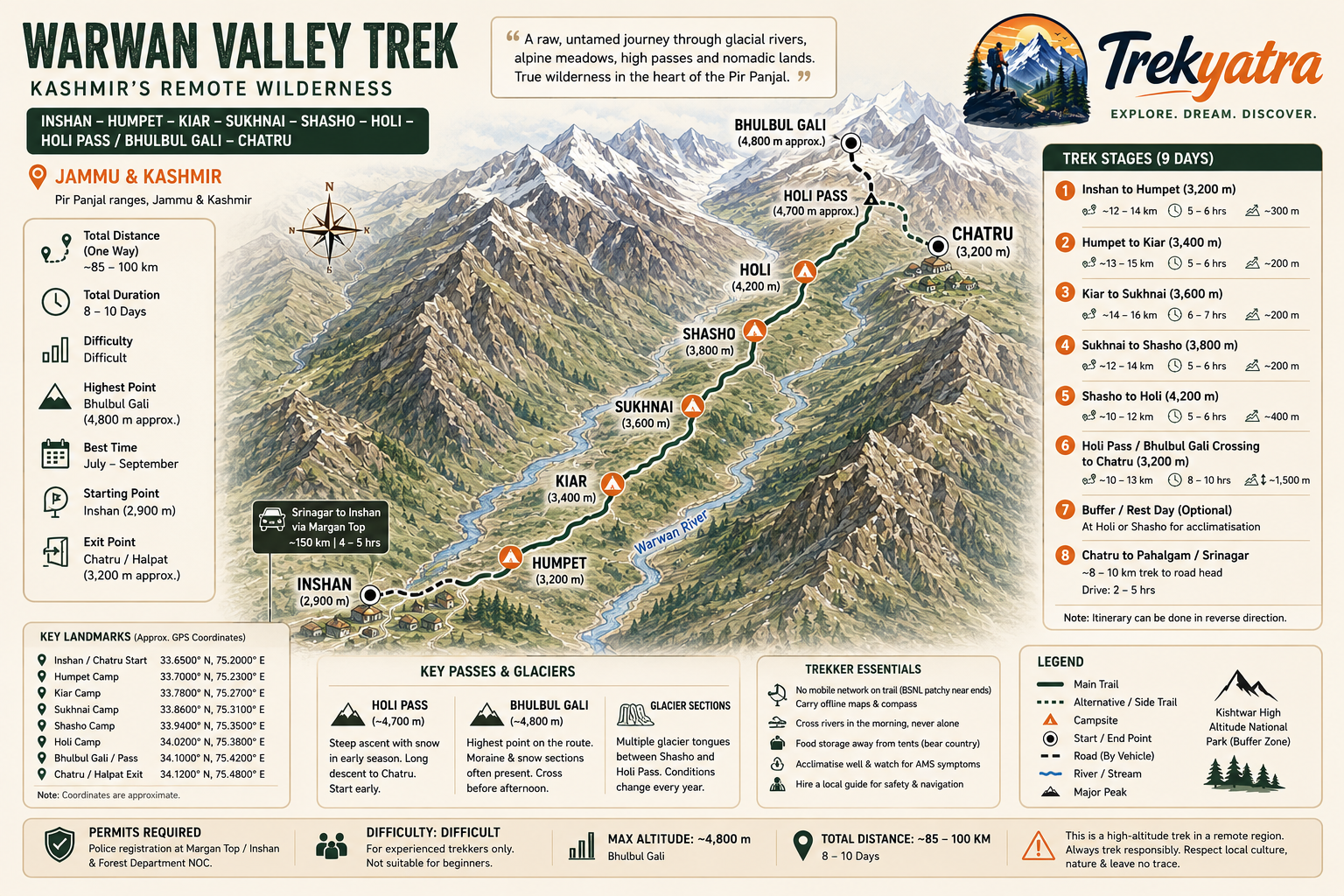
The classic Warwan Valley trek begins at Inshan (also spelled Inshan/Irshal) near Margan Top on the Anantnag–Kishtwar road and ends either at Halpat or Chatru, from where onward transport connects to Pahalgam or Srinagar. Some itineraries reverse this direction depending on logistics.
Total distance: Approximately 85–100 km
Key waypoints in order:
- Inshan / Chatru (start, ~2,900m)
- Humpet (~3,200m)
- Kiar (~3,400m)
- Sukhnai (~3,600m)
- Shasho (~3,800m)
- Holi (~4,200m)
- Holi Pass / Bhulbul Gali (~4,700–4,800m)
- Chatru / Halpat (~3,200m, exit point)
The Warwan River runs as a central thread through much of the route, fed by dozens of glacial tributaries. River crossings are unavoidable and are among the most challenging technical aspects of the trek — particularly in June and early July when snowmelt is at its peak.
The Warwan Valley route passes through several glacier zones, most notably in the upper reaches before the Holi Pass and Bhulbul Gali crossings. These sections involve walking on moraine debris and, in early season, crossing ice-covered slopes.
Key Passes and Glaciers on the Warwan Valley Route
Holi Pass (~4,700m)
This is the primary high pass on the route, connecting the Warwan Valley to the drainage systems on the far side. The ascent is steep and involves loose scree in late season. In June–July, snow coverage is significant and crampons or microspikes are essential. The descent is long and requires caution on wet terrain.
Bhulbul Gali (~4,800m)
Considered the highest point on the route in most itineraries. The approach involves traversing moraine fields left by retreating glaciers. The pass offers extraordinary panoramic views of the surrounding ranges. An early start (pre-dawn departure from the prior camp) is strongly recommended to ensure a safe crossing before afternoon weather builds.
Glacier Sections:
Several unnamed glacier tongues cross the route between Shasho and the Holi Pass area. These sections require careful foot placement and are best navigated with a local guide who knows current ice conditions. The Warwan Valley glaciers have been actively retreating — routes that were straightforward a decade ago may now involve additional moraine scrambling.
What each day actually looks like
This 9-day plan assumes arrival in Srinagar the day before the trek begins.
Day 0 — Arrive Srinagar
Fly or drive into Srinagar. Sort permits, final gear, and groceries. Rest and acclimatise to ~1,600m. Stay near Dal Lake or Lal Chowk. See our Srinagar travel guide for accommodation options.
Day 1 — Srinagar to Inshan via Margan Top
- Drive: Srinagar → Anantnag → Margan Top → Inshan (~4–5 hours, ~150 km)
- Arrival elevation: ~2,900m
- Register at the police checkpost at Margan Top or Inshan.
- Set up camp near Inshan village. Water available from stream near the campsite.
- Highlight: First views into the Warwan Valley. Meet local Gujjar families.
Day 2 — Inshan to Humpet
- Distance: ~12–14 km
- Elevation gain: ~300m
- Trail follows the Warwan River valley, mostly flat with gradual inclines.
- First river crossings — use trekking poles for support.
- Camp at Humpet meadows (~3,200m), flat ground, reliable water from stream.
- Highlight: Wide valley views, first encounters with Bakarwal flocks.
Day 3 — Humpet to Kiar
- Distance: ~13–15 km
- Elevation gain: ~200m net (some undulation)
- Trail continues through the valley floor with sections of forest and open scrub.
- Multiple stream crossings; poles and gaiters essential.
- Camp at Kiar (~3,400m), good flat ground, stream water available.
- Highlight: Dense wildflower meadows in July–August.
Day 4 — Kiar to Sukhnai
- Distance: ~14–16 km
- Elevation gain: ~200m net
- Terrain opens up with views of the surrounding ridgelines.
- Camp at Sukhnai (~3,600m), exposed but flat site, water from stream.
- Highlight: Nomadic Gujjar summer settlements visible on hillsides.
Day 5 — Sukhnai to Shasho
- Distance: ~12–14 km
- Elevation gain: ~200m
- Trail begins to steepen; terrain transitions from valley floor to higher altitude scrub.
- Camp at Shasho (~3,800m), last reliable water before the pass section, good flat ground.
- Highlight: Panoramic views back down the valley.
Day 6 — Shasho to Holi (Pre-Pass Camp)
- Distance: ~10–12 km
- Elevation gain: ~400m
- This is the most physically demanding section before the pass. Terrain includes moraine fields and glacier-adjacent walking.
- Camp at Holi (~4,200m), limited flat ground, water from glacial melt stream — purify all water at this elevation.
- Highlight: First glacier views; the Bhulbul Gali massif dominates the skyline.
Day 7 — Holi Pass Crossing to Chatru
- Distance: ~10–13 km
- Elevation: Ascend to Holi Pass / Bhulbul Gali (~4,700–4,800m), then descend to Chatru (~3,200m)
- Depart camp by 5–5:30am to cross pass in best conditions.
- The descent from the pass is long and steep; trekking poles and crampons (early season) are essential.
- Camp at Chatru (~3,200m), flat meadow, good water source.
- Highlight: Standing on the pass with views into two valleys simultaneously.
Day 8 — Chatru to Pahalgam or Srinagar
- Distance to road head: ~8–10 km trek or arrange vehicle pickup at Chatru if accessible.
- Drive from road head to Pahalgam (~2–3 hours) or continue to Srinagar (~4–5 hours total from road head).
- End of trek. See our Pahalgam travel guide if stopping overnight.
Note: Some trekkers add a Day 9 rest/buffer day at Shasho or Holi to acclimatize and account for weather delays. Strongly recommended for groups with less altitude experience.
Campsite Details and Water Sources
| Campsite | Elevation | Ground Quality | Water Source | Known Hazards |
|---|---|---|---|---|
| Inshan | ~2,900m | Good | Stream, village | None significant |
| Humpet | ~3,200m | Flat meadow | Stream | Bear activity — store food securely |
| Kiar | ~3,400m | Good flat ground | Stream | Flash flood risk near river |
| Sukhnai | ~3,600m | Open, flat | Stream | Wind exposure |
| Shasho | ~3,800m | Moderate flat | Stream | Early season snowfall risk |
| Holi | ~4,200m | Limited flat spots | Glacial melt | AMS risk, cold nights, wind |
| Chatru | ~3,200m | Good meadow | Stream | Wildlife corridor — food storage |
When to go
The best time for the Warwan Valley trek is July to September. Getting this right is critical given the remoteness of the route.
June – Early July
The valley begins to open as snow melts from the passes. Wildflowers are at their most spectacular — alpine meadows burst with colour. However, river crossings can be extremely dangerous due to high snowmelt volumes, and the high passes may still carry significant snow requiring crampons and ice axe skills. Recommended for experienced mountaineers only in this window.
July – September (Peak Season)
This is the optimal trekking window. By mid-July, most passes are reliably snow-free, river levels moderate, daylight is maximum, and weather windows are more predictable. August and September offer the best overall conditions. This is when the Bakarwal and Gujjar nomads are also in residence on the high pastures, enriching the cultural experience.
October
Late season trekking is possible in early October for experienced trekkers who enjoy solitude and autumn colours. However, nighttime temperatures drop sharply (below -10°C at higher camps), early snowfall can close passes without warning, and virtually no other trekking groups are present. Not recommended unless you have strong cold-weather camping experience.
Monsoon Advisory: While Kashmir receives significantly less monsoon precipitation than peninsular India, the Warwan River and its tributaries swell considerably from July monsoon influence. Always check river levels and avoid crossing swollen rivers — this is the single most common safety risk on the route.
Is this trek right for you?
Overall Difficulty Rating: Difficult
The Warwan Valley trek difficulty is genuinely challenging and should not be underestimated. Here is what elevates it beyond a moderate trail:
- Daily distances: 10–16 km per day on uneven terrain
- High passes: Both Holi Pass and Bhulbul Gali exceed 4,500m — at this altitude, every uphill step costs more than it would at sea level
- River crossings: Multiple crossings of the Warwan River and tributaries, including thigh-deep sections in peak season
- No rescue infrastructure: The nearest motorable road is often a full day's walk away; helicopter rescue is weather-dependent and not guaranteed
- Multi-day remoteness: You are committed for days at a time with no exit option
Who should NOT attempt this trek:
- First-time trekkers with no high-altitude experience
- Those with cardiac or respiratory conditions
- Anyone unable to complete a 15 km day hike with a 12 kg pack comfortably
- Solo trekkers without prior Himalayan experience (see safety section)
8–10 Week Fitness Preparation Outline:
- Weeks 1–3: Daily 45-minute brisk walking or jogging. Begin bodyweight strength training (lunges, squats, step-ups).
- Weeks 4–6: Increase to 60-minute cardio sessions. Add weighted pack walks (8–10 kg). Introduce hill repeats.
- Weeks 7–8: Weekend day hikes of 15–20 km with full pack. Core stability exercises. Stair climbing with pack.
- Weeks 9–10: Taper intensity, maintain fitness. If possible, complete a moderate high-altitude trek above 3,500m as a shakedown (e.g., Pahalgam area). See our high-altitude trekking tips for India.
What permits you need
Permit requirements for the Warwan Valley trek are an area of active regulation change. Here is the current understanding for the 2026 trekking season — but always verify with J&K Tourism or DC Anantnag before travel.
Indian Nationals:
- As of 2026, Indian nationals do not require an Inner Line Permit (ILP) to trek the Warwan Valley.
- Mandatory: Police Registration at the checkpost at Margan Top or the Inshan entry point. Carry multiple copies of your government-issued photo ID (Aadhaar card, passport, or voter ID). This registration is free and takes 15–30 minutes.
- Forest Department NOC: Required for trekking in or near protected forest zones adjacent to the Kishtwar High Altitude National Park buffer area.
Foreign Nationals:
- Foreign nationals should check the current Protected Area Permit (PAP) requirements for this specific region before travel, as regulations differ from Indian nationals.
Where to Obtain Permits:
- DC Office, Anantnag
- Online via the J&K Tourism portal (check official site: jktourism.org)
- Some registrations are handled directly at checkposts
Approximate Cost: INR 0–500 depending on applicable permits
For a comprehensive overview of Kashmir trekking permits, see our dedicated Kashmir trekking permits guide.
What this trek will cost you
DIY Warwan Valley Trek Cost (Per Person, 9 Days)
| Item | Estimated Cost (INR) |
|---|---|
| Transport: Srinagar to Inshan (shared taxi) | 2,000–3,500 |
| Return transport: Chatru/Halpat to Srinagar | 2,000–3,500 |
| Local guide (9 days × INR 1,200–1,800/day) | 10,800–16,200 |
| Porter, optional (9 days × INR 1,000–1,500/day) | 9,000–13,500 |
| Food and rations (9 days × INR 500–700/day) | 4,500–6,300 |
| Camping gear rental (tent, sleeping bag, poles) | 2,000–4,000 |
| Permits and registration | 0–500 |
| Total DIY (with porter) | ~30,300–47,500 |
| Total DIY (without porter, self-carry) | ~21,300–34,000 |
Estimated DIY range without porter: INR 18,000–28,000 per person (for budget-conscious trekkers sharing transport and using minimal gear rental)
Organised Package Cost
INR 35,000–55,000 per person from Srinagar for a fully organised group trek
Typically Included: Srinagar pickup/drop, all transport, guide, cook, camping gear, meals on trail, permits assistance, first-aid kit
Typically Excluded: Personal trekking gear, travel insurance, Srinagar accommodation (Day 0), personal snacks, tips for guide/cook/porter
TrekYatra Tip: For a trek of this difficulty and remoteness, an organised package from a reputable operator offers genuine safety value — particularly for first-time visitors to the Warwan Valley. The cost difference is justified by the logistical complexity.
For comparison with other offbeat Kashmir treks, the Warwan Valley sits at the higher end of cost due to its length and remoteness.
What to pack
For a full Kashmir-specific packing guide, see our Kashmir packing list. Here are the Warwan Valley essentials:
Clothing (Layering System)
- Base layer: 2× moisture-wicking merino wool or synthetic tops
- Mid layer: Fleece jacket (300-weight) and insulated down jacket
- Outer layer: Waterproof and windproof hardshell jacket and trousers
- Trekking trousers: 2× (one lightweight, one warm)
- Thermal leggings: 1×
- Gloves: Liner gloves + waterproof outer gloves
- Balaclava and warm beanie
- Sun hat and UV-protective sunglasses (category 4)
- 4–5 pairs merino wool socks
Footwear
- Waterproof hiking boots with ankle support (broken-in before the trek)
- Gaiters (essential for river crossings and snow)
- Lightweight camp shoes or sandals
- Microspikes or crampons (essential June–July, recommended October)
Gear
- 4-season tent (or hire — see below)
- Sleeping bag rated to -10°C minimum
- Trekking poles (pair)
- 55–65L backpack with rain cover
- Dry bags for electronics and documents
- Headlamp + spare batteries
- Sunscreen SPF 50+ and lip balm
Navigation
- Offline maps downloaded (Maps.me or Gaia GPS with Warwan Valley overlays)
- Physical compass
- Paper map printout of the route
Food and Water
- Water purification tablets or UV pen purifier
- 2× 1L water bottles or hydration bladder
- High-calorie trail snacks: nuts, energy bars, dried fruit, chocolate
- Emergency ration (1 extra day of food beyond planned)
Documents
- Original government ID (multiple copies)
- Permit copies
- Travel insurance certificate (medical evacuation coverage essential)
- Emergency contact list
First Aid
- Diamox (acetazolamide) for AMS prevention — consult a doctor before use
- Blister kit (moleskin, antiseptic, needle)
- Ibuprofen and paracetamol
- Rehydration salts (ORS)
- Elastic bandage and SAM splint
- Antiseptic cream and wound closure strips
- Personal medications
Gear Rental Options in Srinagar
Srinagar has a growing gear rental ecosystem, concentrated in the following areas:
- Lal Chowk and surrounding streets — Multiple small outfitters rent camping and trekking gear
- Dal Lake Boulevard (Shikara Road area) — Several shops cater to trekkers heading to Sonamarg and Pahalgam; rental availability for Warwan-level gear varies
- Near the Tourist Reception Centre, Srinagar — Outfitters often aggregated near this government hub
Approximate 2026 Rental Costs (per day):
- 4-season tent: INR 200–400/day
- Sleeping bag (-10°C rated): INR 100–200/day
- Trekking poles (pair): INR 50–100/day
- Crampons: INR 100–150/day
Always test rented gear thoroughly before departure — inspect tent poles, zip quality, and sleeping bag loft.
Staying safe on the mountain
The Warwan Valley is not a trek to improvise. For general principles, see our altitude sickness prevention guide and high-altitude trekking tips.
Altitude Mountain Sickness (AMS):
Ascend gradually and never push through AMS symptoms. See the sub-section below.
River Crossings:
- Always cross in the morning when water levels are lowest (snowmelt peaks in the afternoon).
- Unbuckle your pack's hip belt and chest strap before crossing — if you fall, you must be able to ditch the pack.
- Use a trekking pole on the upstream side. Never cross alone.
- Link arms in a group for deeper crossings.
Weather Monitoring:
Check weather forecasts before departing from each camp if any satellite communication device (SPOT tracker, Garmin inReach) is available. Mountain weather in Warwan can deteriorate within hours. Do not attempt pass crossings if clouds are building before 10am.
Mobile Signal:
Expect no mobile signal for the majority of the route. BSNL provides patchy signal at certain elevated points and near the Inshan and Chatru ends of the trail. Do not rely on mobile connectivity for navigation or emergency communication. Carry a satellite communicator if trekking with a smaller group.
Emergency Contacts:
- Nearest Hospital: Anantnag District Hospital (reachable after exiting the valley)
- SDRF Kashmir (State Disaster Response Force): Contact via local police at Margan Top / Inshan checkpost — register your trek plan and expected return date
- Always register your exit plan with the police checkpost at the start of the trek.
Guide Requirement:
For first-time visitors to the Warwan Valley, trekking with a local guide is not optional — it is imperative. The route is unmarked in multiple sections, glacier and river conditions change year to year, and a guide's knowledge of safe crossing points and weather patterns can be the difference between a safe trek and a rescue operation.
Wildlife:
- The valley is Himalayan brown bear territory. Store all food in odour-proof bags at least 200m from and downwind of your tent. Never eat inside your tent.
- Snow leopard presence is documented in the upper valley zones — encounters are extremely rare but treat any wildlife sighting with distance and respect.
- Himalayan ibex and marmots are common and harmless; do not feed.
Solo Trekking:
Strongly discouraged. The combination of no mobile signal, multi-day distances from any habitation, challenging river crossings, and wildlife risk makes solo trekking on the Warwan Valley route genuinely dangerous. At minimum, hire a local guide.
How to Prevent Altitude Sickness on the Warwan Valley Trek
The Warwan Valley trek gains significant elevation progressively, but the final push to Holi Pass / Bhulbul Gali (~4,700–4,800m) happens relatively quickly in the itinerary. Read our full altitude sickness prevention guide before you go.
Acclimatisation Schedule Tips:
- Spend at least one night in Srinagar (~1,600m) before driving to Inshan (~2,900m)
- Do not attempt to push past Shasho on Day 5 if anyone in the group shows AMS symptoms
- The optional rest day at Holi camp (~4,200m) before the pass crossing is valuable for acclimatisation
Diamox (Acetazolamide):
- Commonly prescribed for AMS prevention; consult a doctor before the trek
- Typical preventive dose: 125–250mg twice daily, beginning 24 hours before significant ascent (medical dosage — confirm with a registered physician)
- Diamox is a diuretic — stay very well hydrated
AMS Symptoms to Watch:
- Persistent headache, nausea, loss of appetite, dizziness, fatigue beyond normal exertion
- More severe: confusion, ataxia (loss of coordination), extreme breathlessness at rest — these indicate High Altitude Cerebral Oedema (HACE) or High Altitude Pulmonary Oedema (HAPE)
Descent Protocol:
If any trekker shows moderate-to-severe AMS symptoms, descend immediately. Do not wait to see if symptoms improve overnight at the same elevation. A descent of even 300–500m can be life-saving. No summit or pass crossing is worth risking a life.
Similar treks to explore
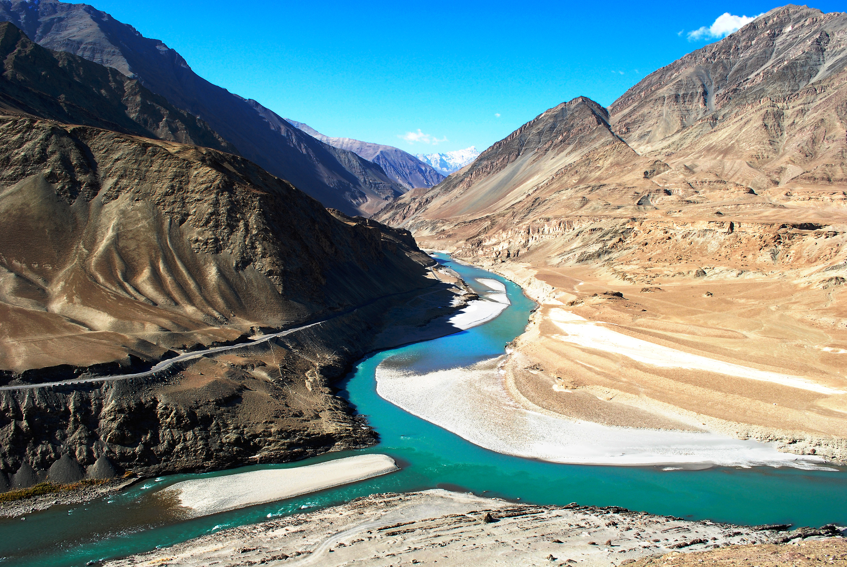
Snow Leopard Trek Hemis: The Ultimate 2026 Guide
The snow leopard trek in Hemis National Park, Ladakh, offers the world's best chance of spotting a wild snow leopard, with 70–80% guided sighting success rates
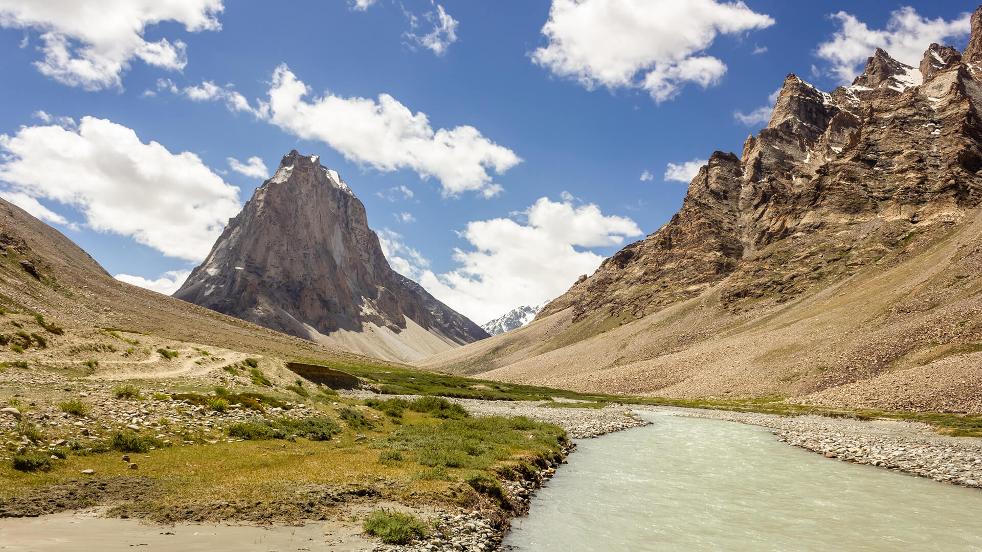
Padum to Darcha Trek: Complete High-Altitude Route Guide
The Padum to Darcha trek covers ~115–120 km in 8–9 days, crossing Shingo La (~5,060 m) between Zanskar and Lahaul.
Rumtse to Tso Moriri Trek: Complete Ladakh Trail Guide
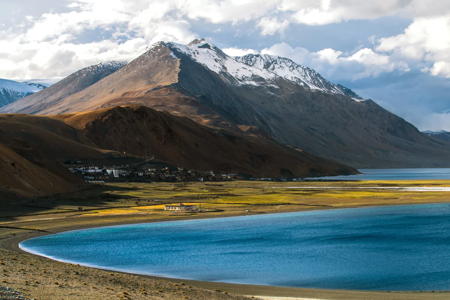
The Rumtse to Tso Moriri trek is an ~80 km, 7–8 day strenuous Ladakh trail crossing Kyamar La (~5,460 m) and Polokongka La (~5,190 m), ending at Tso Moriri Lake
Common questions answered
The Warwan Valley trek is rated Difficult. Daily distances of 12–16 km on uneven trail, multiple river crossings with no bridges, two passes above 4,500m, and a complete absence of rescue infrastructure mean this trek requires prior high-altitude experience (above 3,500m), strong cardiovascular fitness, and solid judgment in remote environments. It is not suitable for beginners.
Live Conditions
Real-time weather & trail status
Trail Conditions
Crowdsourced reports from trekkers who've done this route
Sign in to add a trip report
Find a Trek Buddy
Connect with trekkers planning the same route
No buddies yet for this trek
Sign in and be the first to post a planning signal.